
Zonda for three days: what areas will be affected and what will be the maximum temperature?

The weather forecast predicts rising temperatures, although the Zonda phenomenon is still present in some areas of Mendoza.
The week kicks off in Mendoza with the presence of the Zonda wind and a marked rise in temperature . According to forecasts, the phenomenon will affect various areas of the province between Monday and Wednesday, accompanied by unstable conditions in the high mountains and highs reaching 24°C in the plains.
According to Civil Defense, on Monday, September 8 , Zonda will manifest itself mildly throughout the foothills from mid-morning, with reports in Malargüe starting at 11 a.m. and spreading to the south of the department and the Uco Valley from 3 p.m. to 9 p.m.
At the same time, a light southerly wind will circulate in the east, south, north, and possibly in Greater Mendoza, continuing into the afternoon.
The sky will be partly cloudy in the early hours in the south and east, clearing around midday.
After a low of 6°C, the high will reach 20°C.
On the other hand, in the High Mountains , there will be moderate rainfall in the southern mountain range area from the evening.
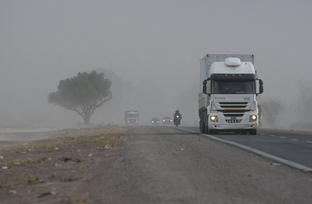
Strong gusts of Zonda winds hit Mendoza yesterday afternoon. Northbound, past Francisco Gabrielli Airport in Las Heras department. Marcelo Rolland / Los Andes
On Tuesday , Zonda will be felt again early in the foothills , between 5 and 6 in the morning, and will reach Malargüe , the south of the department and the Uco Valley from 1 p.m. Gusts could reach an average of 45 km/h and extend until 9 p.m. The phenomenon could also graze the Uspallata Valley.
In addition, northerly winds are expected in the eastern part of La Paz from 11 a.m. to midnight, continuing into early Wednesday morning.
In the high mountains , conditions are expected to worsen overnight, with significant snowfall in the southern area between 9 p.m. and 10 a.m. the following day.
The maximum temperature forecast in the plains is 24°C , with minimum temperatures of 3°C in Malargüe and the Uco Valley, and between 7 and 8°C in the rest of the province.
On Wednesday the Zonda could go down on the plainAs a preview, a more complex scenario is projected for Wednesday, September 10 : the Zonda will activate in the early morning in the foothills and will advance towards Malargüe, Valle de Uco and possibly Greater Mendoza from 5 a.m.
A cold front will then move in with strong southerly winds, between 45 and 50 km/h , starting at 9 a.m. in the southern region. The phenomenon will move north, east, and across Greater Mendoza around 11 a.m., with influence throughout the day and into the evening. The high will be 21°C.
- Topics
- Zonda
- Time
- Weather forecast
- Mendoza
losandes


